Timatis Maps
A provider of OpenStreetMap data.

© OpenMapTiles © OpenStreetMap contributors
OpenStreetMap data for your website
Timatis Maps provides you with up-to-date map data so that you can publish maps on your web site without operational overhead. We take care of hosting, updating, and the quick delivery of map tiles via content delivery networks. You can embed maps on your web site without writing any code, or you can focus on map content and visualizations, using for instance open-source rendering clients such as MapLibre GL JS, which renders vector tiles with GPU acceleration. Have a look at our examples to explore some of the possibilities.
Features
• Regularly updated, planet-wide vector tiles based on OpenStreetMap.
• Points of interest API, showing detailed information about places.
• GDPR compliant map service. (data processing agreement)
• No coding required.
• No ads.
• Small fees without overcharge.

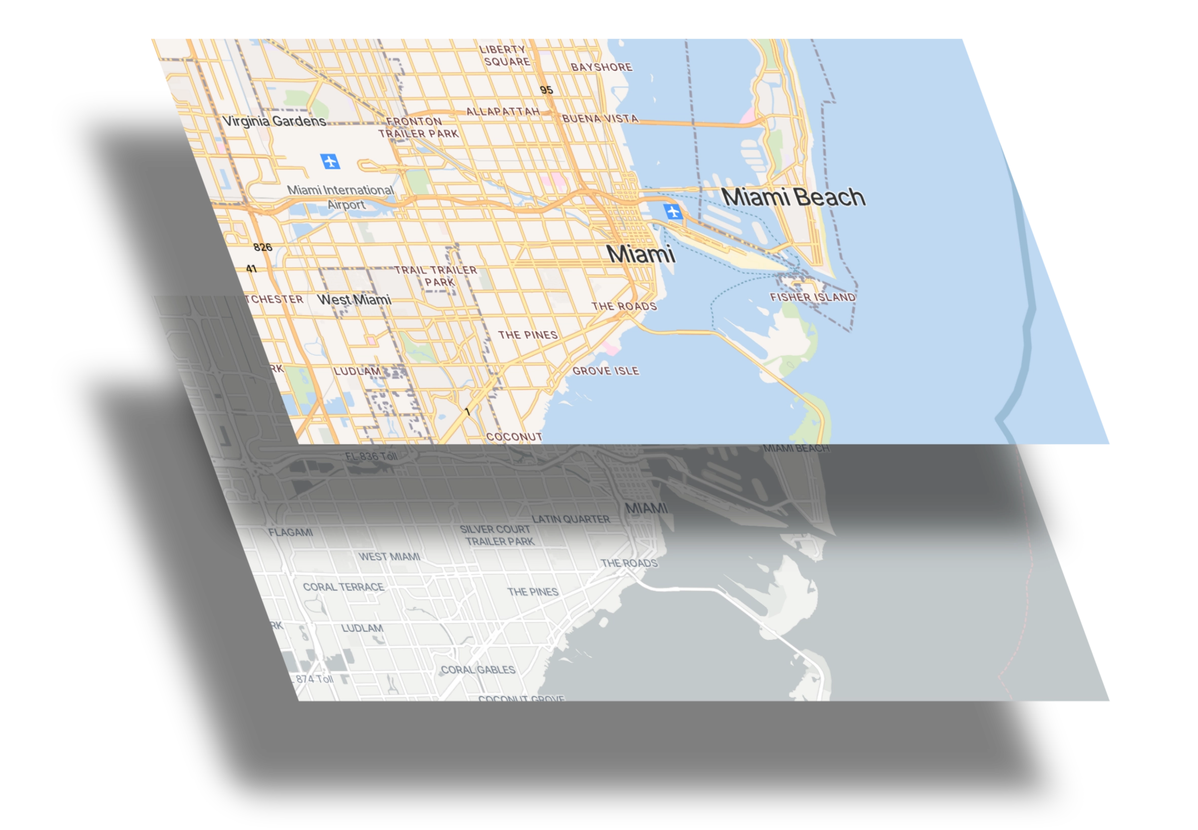
Supported default styles:
All styles are independent open-source projects and links to their project pages can be found on our attributions page. "Natural" combines OSM Bright with data from Natural Earth and JAXA's AW3D30.
Quickstart
Sign in to Timatis Maps with your existing Google account and start your free trial.
No payment information is necessary and you have 30 days to try this service for free. To continue using Timatis Maps beyond the trial period you need to select a subscription tier that includes a certain number of API requests per 30 days. Prices for base map access start at $9 per billing cycle.
Create a personal API key in your account page.
An API key allows access to our service and is used by us to ensure customers do not exceed their usage quota.
Embed a map on your website
No-code solution
The easiest way to get started with Timatis Maps is our no-code solution which embeds a map as an iframe. Simply visit the Map-o-matic, adjust the map parameters and copy the iframe snippet into your HTML page.
Using a JavaScript client
You can use any client which is capable of rendering vector tiles. Simply configure a data source that points to our service:
https://cdn.timatis.com/api/styles/osm-bright/style.json?apikey={YOUR API KEY}
Finally, you can also access the tile data endpoints directly. Please visit our documentation page for more information.
Pricing
S
Includes
500,000
requests per 30 days.
per 30 days
M
Includes
3,000,000
requests per 30 days.
per 30 days
L
Includes
6,000,000
requests per 30 days.
per 30 days
Currency:
A base map subscription provides access to vector tiles, elevation data, fonts, map icons and other style files. Each such request counts towards the quota.
If your usage exceeds the allocated quota, access is blocked until the next billing period starts. If you temporarily need more API requests for the current billing period, you can purchase them without upgrading your subscription. In addition, you always have the option to change your subscription plan for the next billing period, or you can cancel your subscription at any time. If you cancel your subscription, you will retain access to the service until the end of the billing period you have already paid for. However, we do not offer refunds.
S
Includes
25,000
requests per 30 days.
per 30 days
M
Includes
75,000
requests per 30 days.
per 30 days
L
Includes
250,000
requests per 30 days.
per 30 days
Currency:
A points of interest (POI) subscription enables direct lookup of POI data by ID as well as searching for POIs within a radius at some location. Each request to /api/poi/* counts towards the quota.
If your usage exceeds the allocated quota, access is blocked until the next billing period starts. If you temporarily need more API requests for the current billing period, you can purchase them without upgrading your subscription. In addition, you always have the option to change your subscription plan for the next billing period, or you can cancel your subscription at any time. If you cancel your subscription, you will retain access to the service until the end of the billing period you have already paid for. However, we do not offer refunds.
